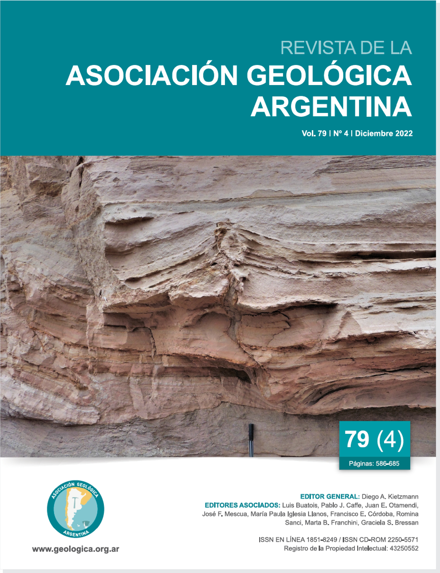
Multiple tectonic reactivations of the Cachi fault system at the eastern edge of the southern Luracatao valley, Calchaquíes valleys, northwestern Argentina
Main Article Content
Abstract
The Luracatao valley (boundary between Calchaquí valleys and Puna) is flanked to the east by sierra de Cachi and cumbres de la Laguna mountain ranges, delimited by first-order structures called here as Cachi fault system, from east to west: eastern fault, central fault and western fault. These faults have N-S orientation dipping to the east. The eastern main fault corresponds to a normal cretaceous fault that bounded the Brealito-Molinos half-graben to the west. Central and western faults, interpreted as splays of the eastern fault, would have originated as cretaceous normal faults with multiple tectonic inversion-reactivation processes during the Andean orogeny. The basement heterogeneities have controlled the location of new structures during the Mesozoic and Cenozoic, through strong parallelism between the basement foliations and faults. In this study, we present new field data that help us to reconstruct this structures system evolution, which has been described in previous works as a unique master fault (Cachi fault) with a localized splay, and these document multiple reactivation stages from Eocene.
Article Details

This work is licensed under a Creative Commons Attribution-NonCommercial 4.0 International License.
Nota de copyright
Los autores conservan los derechos de autor y garantizan a la revista el derecho de ser la primera publicación del trabajo licenciado según una licencia de atribución Creative Commons que permite a otros compartir el trabajo con el reconocimiento de la autoría y de la publicación en la que se publicó por primera vez.
Declaración de privacidad
Los nombres y direcciones de correo electrónico introducidos en esta revista se usarán exclusivamente para los fines declarados por esta revista y no estarán disponibles para ningún otro propósito u otra persona.

